WP3: Enhanced local tie metrology at GGOS space-geodetic core stations
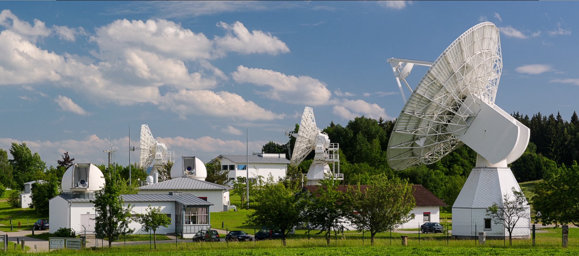
The aim of this work package is to reduce the measurement uncertainty of local tie vectors to 1 mm over 200 m. Today, these uncertainties can be significantly larger depending on the observatory, the surveillance technology and the operation mode of the telescopes (e.g. a moving telescope following a target). In a comprehensive effort at two European GGOS core sites, various completely novel and revised instruments and measurement methods as well as analysis approaches will be investigated. Many outputs of WP1 and WP2 will be implemented in highly collaborative measurement campaigns to achieve this key JRP objective. The JRP tackles three predominant contributions to local tie vector uncertainty: the uncertainty in of the overall surveillance network scale (Task 3.1), the challenge to determine the reference point of the massive, often rotating telescopes for the space geodetic observations (Task 3.2), and the pronounced uncertainties in the height coordinate of local tie vector observations due to transformations between different geoid models (Task 3.3).
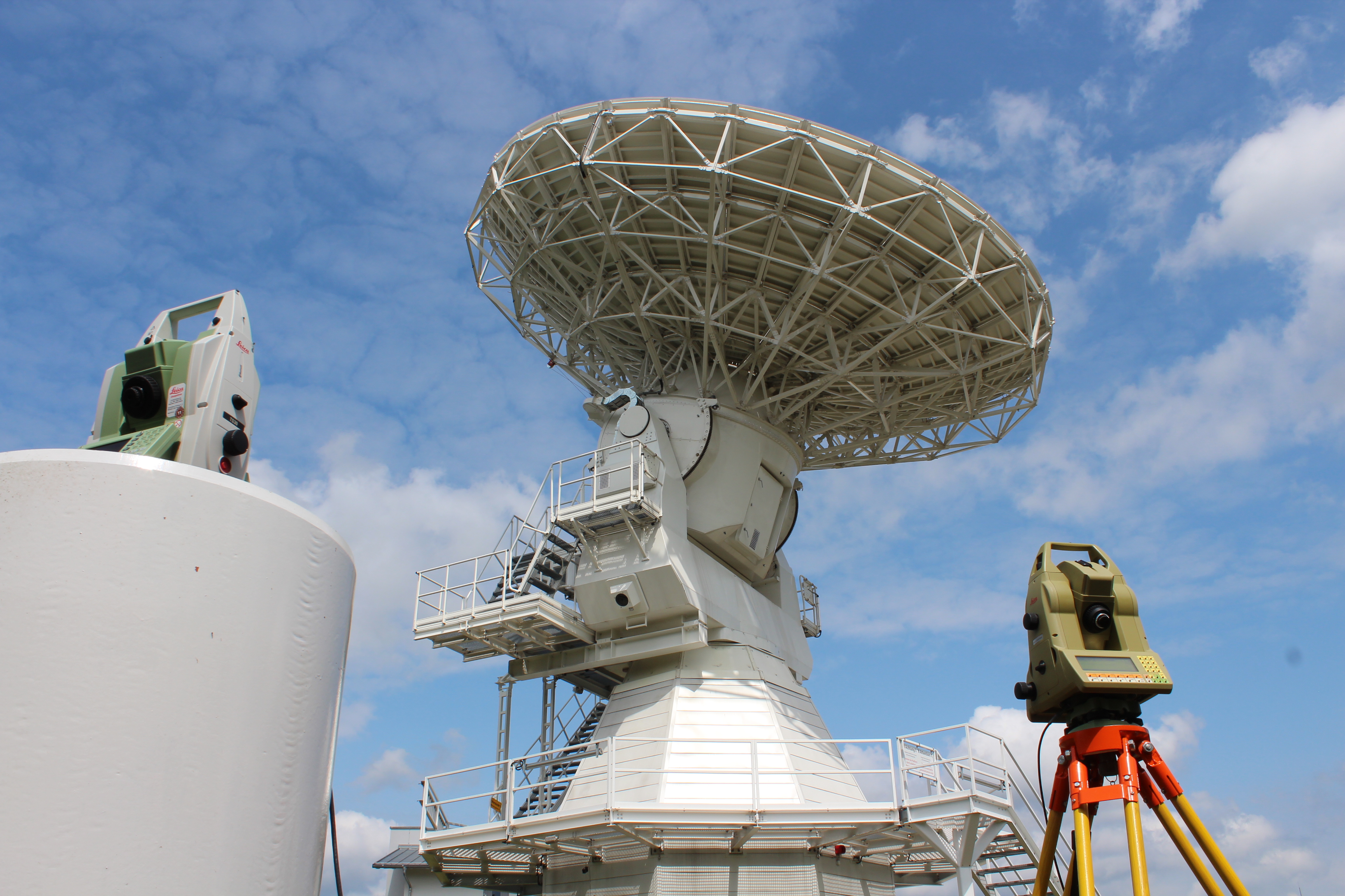
In Task 3.1, the design of the two established surveillance networks at the GGOS-CSs Wettzell and Metsähovi will be refurbished to include novel space-geodetic instrumentation and to enable a “transformation-free” network analysis by an inclusion of remote points. The application of the novel refractivity-compensated standards and intrinsic 1D thermometers developed in WP1 will reduce the measurement uncertainty of the scale in the network. This is a direct improvement of traceability of the whole ITRF to the SI definition of the metre.
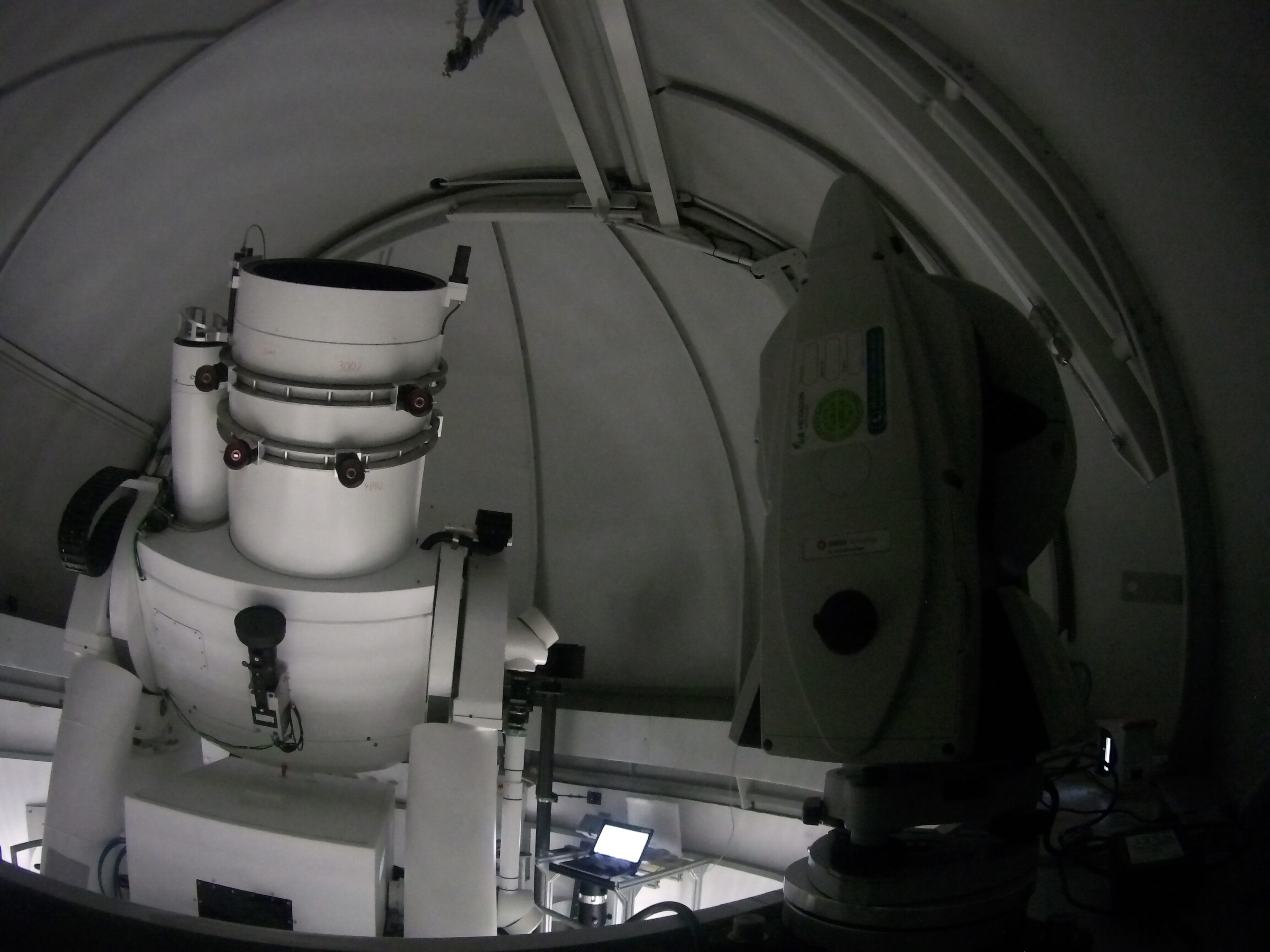
In Task 3.2, monitoring of the large telescopes used for generation of the ITRF and other global reference systemsis tackled as a 3D measurement problem. Several different strategies are explored and compared in this task. Novel instrumentation developed in this JRP will also help increasing accuracy substantially. The DistriMetre and the Absolute3D multilateration systems developed in WP1 target a measurement uncertainty for the reference points monitoring of 300 µm in vector length. All optical techniques will also benefit from the volumetric temperature compensation developed and installed during the project.
In Task 3.3, the JRP tackles the problem of the local vertical axis with respect to the global system, i.e. the uncertainty of height and orientation of an observing instrument. While optical systems are mounted levelled to the local geoid, GNSS is totally insensitive to the geoid. When gravity-related heights are needed, a geoid model is used. This introduces one of the biggest uncertainties in the height determination, and in consequence, this is also a major source of uncertainty for local tie vectors. An approach to deal with this problem, a local geoid model will be determined at Wettzell and Metsähovi and included in the analysis.
Finally, in Task 3.4, the data of all previous campaigns is jointly analysed, together with a classical local tie surveying campaign. The benefit of the novel methods and instrumentation is assessed. This will lead to novel local tie vector coordinate sets for the GGOS-CS Metsähovi and Wettzell. They will be submitted for the ITRF2024 solution. The conclusions of this work package will lead to an extended report or recommendation which will be appropriately distributed.